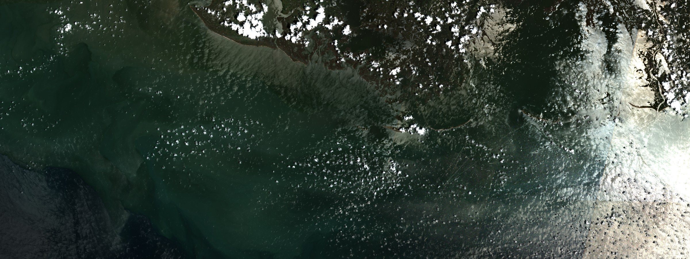
The survey that sailed behind a storm
Each July a ship maps the low-oxygen water off Louisiana, and its number becomes the national measure. In 2026 a tropical storm crossed the shelf on the eve of the cruise, and NOAA says the survey did not capture the full extent of the zone.
The ship
At ten o'clock on the night of 23 July 2026 the National Hurricane Center issued its last advisory on Tropical Storm Bertha, by then a remnant forty miles west-northwest of Houston. The next day the research vessel Pelican sailed to map the dead zone.
Earlier that month the same ship had been out on the shelf for Jessica Labonté of Texas A&M University at Galveston, whose team was coring sediment. "We had to come back a day early because of the storm," she said. The Pelican was built in 1985 at Allied Shipyard in LaRose, Louisiana. Consistent late-July mapping began that year too, so the ship and the record are the same age.
The cruise starts at Southwest Pass, at the mouth of the Mississippi, and works west. At each station a CTD with a rosette of Niskin bottles goes over the side and down through the column. Each line of stations runs offshore or inshore until the low-oxygen water ends. "We bring water up to the surface. We have a little chemistry lab … to figure out what the oxygen level is chemically," said Cassandra Glaspie of Louisiana State University, the cruise's chief scientist, in 2025. The readings are then checked against the sensors. The line all of it is drawn against is NOAA's: below 2 milligrams of oxygen per liter, water is hypoxic.
Advisory: National Hurricane Center, final advisory on Bertha. Labonté: Texas A&M University at Galveston, 12 August 2026. Vessel: Louisiana Universities Marine Consortium. Method: gulfhypoxia.net. Glaspie: Louisiana Illuminator, 22 August 2025.
The number
The Pelican came back on 30 July. On 5 August NOAA announced a zone of about 1,332 square miles, which it calls the second smallest in forty years of measurement. Another account, from the Gulf of America Coastal Ocean Observing System, gives the same area, 3,449 square kilometers off Louisiana and Texas, as the third smallest since mapping began in 1985. Two rankings, one measurement, and they have not been reconciled.
In June NOAA had forecast 7,027 square miles, against a 39-year average of 5,223, from a model built mainly on river flow and nutrient load. May discharge in the Mississippi and Atchafalaya had run about 36 percent below the long-term average. Nitrate, though, was about 4 percent above its own average, and phosphorus 6 percent below. The measured zone fell outside the uncertainty range of NOAA's ensemble forecast.
NOAA gives the reason plainly. Bertha, it says, passed through the northern Gulf "on the eve of the cruise." Winds and high waves churned the water across the cruise area and mixed oxygen-rich surface water down to the seabed. Then the sentence that matters most to anybody reading the number: the cruise did not capture the full extent of the zone.
The cruise did not capture the full extent of the zone.
Measurement, storm and forecast range: NOAA National Centers for Coastal Ocean Science, 5 August 2026. Forecast and river inputs: the same, 16 June 2026. Ranking: Gulf of America Coastal Ocean Observing System, 2026 Dead Zone Report.
The storm
Bertha began on 19 July as Tropical Depression Two, about 155 miles south of Panama City, Florida. The hurricane center expected it to move near or along the northern Gulf coast for several days, and it did. By 23 July it was some 35 miles south of Lake Charles, still a tropical storm, and that night it came apart inland past Houston. It had traveled the length of the shelf the cruise was about to survey.
"We all thought it was not the greatest timing for the dead zone cruise since the dead zones were going to shrink during the storm," Labonté said. The Louisiana State University release on the result, from Glaspie, Turner and Rabalais, notes that the 2026 size falls near the Hypoxia Action Plan goal. It is "only one year of many since the Plan was adopted in 2001," the release says. This year's size "represents physical mixing of the water column."
Track: National Hurricane Center, advisories 1, 17 and 19 on Bertha. Release: Glaspie, Turner and Rabalais, Louisiana State University, 5 August 2026.
What one week cannot see
The dead zone is a layer. Fresh river water rides over the salt water of the shelf, the boundary between them keeps oxygen from reaching the bottom, and decaying algae use up what is there. A storm stirs the two together. Nancy Rabalais and R. Eugene Turner, who built this record, describe what follows from a bottom meter 100 kilometers west of the delta. Oxygen jumps almost at once out of near zero to above 6 milligrams per liter. It falls back below 2 in 18 days in April, 11 in May and 9 in July, as the bottom warms.
So the timing of a cruise is part of its result. Hurricane Barry crossed before the 2019 survey. "Past research indicates that hypoxia can take a week to reform in the summer after major wind events," Rabalais said then. The cruise found the zone "reformed and was in the process of rapidly expanding." In 2020 Hanna passed days before the ship sailed. NOAA wrote that the zone usually forms again within days or weeks of a storm, but that it could only partially reform before that cruise ended. It measured 2,116 square miles against a forecast of 6,700. In 2026 the ship sailed the day after the last advisory.
Then there is the shape. An area is a map of the seabed, and the layer above it has a thickness. On the eastern Louisiana shelf hypoxia can fill the bottom 10 meters of a 20-meter column; on the western shelf, the bottom 2 to 5. "None of us really thought until the estimate came out that it was below average size because we're able to see the three-dimensionality of it," Glaspie said of the 2025 cruise. "That's not really incorporated into that estimate." Matli and Obenour reanalyzed 1985 to 2018. In the years another cruise recorded more hypoxia than the mid-summer survey, it exceeded the survey on average by 46 percent for area and 52 percent for volume. The cruise's own web page says the estimated size is often less than the actual size, because sometimes there is not time to map it all.
And there is the edge of the map. The Task Force's requirement is a survey on fixed lines west of the delta, as far as the Texas border. The 2012 monitoring plan notes that hypoxia also occurs east of the Mississippi plume. Hypoxia here has been documented in every month except December and January. The cruise is one week of that.
In 2026 the ship sailed the day after the last advisory.
Re-oxygenation, layer thickness and season: Rabalais and Turner, Limnology and Oceanography Bulletin, 2019. Barry and Hanna: NOAA, 1 August 2019 and 4 August 2020. Volume and area: Matli and Obenour, PLoS ONE. Transects: NOAA and Northern Gulf Institute workshop, 2016; Gulf of Mexico Hypoxia Monitoring Implementation Plan, 2012.
Whose number it is
Parts or all of 31 states and two Canadian provinces drain into the Mississippi, 41 percent of the contiguous United States. The Hypoxia Task Force's goal is a five-year average below 1,900 square miles by 2035, and after 2026 the average stands at 3,745, almost twice that. The goal is an average for a reason NOAA states itself: the survey cruise is only a snapshot. Glaspie uses the same word. "Even though we're far away from the Midwest, this is your metric, too," she told a webinar audience this year.
On the water the number has a price. A NOAA-funded study led by Duke University found that hypoxia raises the price of large brown shrimp relative to small ones, consistent with a dead zone that slows their growth. Thomas Olander, a shrimper in St. Mary Parish, said in 2019: "We're not catching no large shrimp." He had little patience for the measuring. "Doing nothing but studying [the dead zone] all the time is not doing anything," he said. "We know there's a problem already ... let's start getting solutions done." Four years later he said: "I'd like to see my son stay in this business because my daddy did it and his daddy did it. It's sad that this industry could stop with my generation."
Basin: U.S. Environmental Protection Agency. Goal and average: NOAA, 5 August 2026. Snapshot: NOAA, 4 August 2020. Glaspie: MPR News, 6 September 2026. Shrimp prices: NOAA's summary of Smith and others, Proceedings of the National Academy of Sciences, 2017. Olander: New Orleans Public Radio, 2019; The Price of Plenty, 2023.
The measurement still to be made
Rabalais ran the first cruise in 1985, five days on the Pelican. "And I was making decisions like I knew what I was doing," she said, years later. The record has two gaps: 1989, for "lack of sufficient funding", and 2016, for "lack of a suitable vessel". In 2025 the ship cost about $13,000 a day, Glaspie said. Eleven days is the ideal; NOAA defunded one of them that year, and the Gulf of America Council paid for it instead. Apart from the crew, everybody aboard that year was a volunteer.
What the record needs was written down long ago. The 2012 monitoring plan noted that more coverage through the summer had been recommended to compensate for pre-cruise storm events. It listed as a need six monthly shelf-wide surveys a year, April through September. A 2016 workshop found no alternative to the ship that would stay consistent with the long record, and NOAA's glider trials found gliders cannot reliably map that coast. In 2021 NOAA's program summary described "a major gap in ocean monitoring support". Losing even a single cruise, it said, greatly diminishes the Task Force's ability to measure progress.
Labonté was asked how long the storm's effect would last. "That's a good question that can only be answered through time-series monitoring," she said. That is the measurement still to be made. Bottom oxygen across the whole shelf, east of the river as well as west, from the spring the layer forms until the first cold front breaks it, with thickness recorded beside area. Until then the national figure is what one ship found in one week, and in 2026 that week began the day after a storm.
First cruise: The Price of Plenty, 2023. Gaps: Rabalais and Turner, 2019. Cost and crew: Louisiana Illuminator, 2025. Plan: Gulf of Mexico Hypoxia Monitoring Implementation Plan, 2012. Workshop and gliders: NOAA and Northern Gulf Institute, 2016. Monitoring gap: NOAA, 2021.